Land & Aerial Photography Portfolio
Large Acreage and Land Parcels From Above
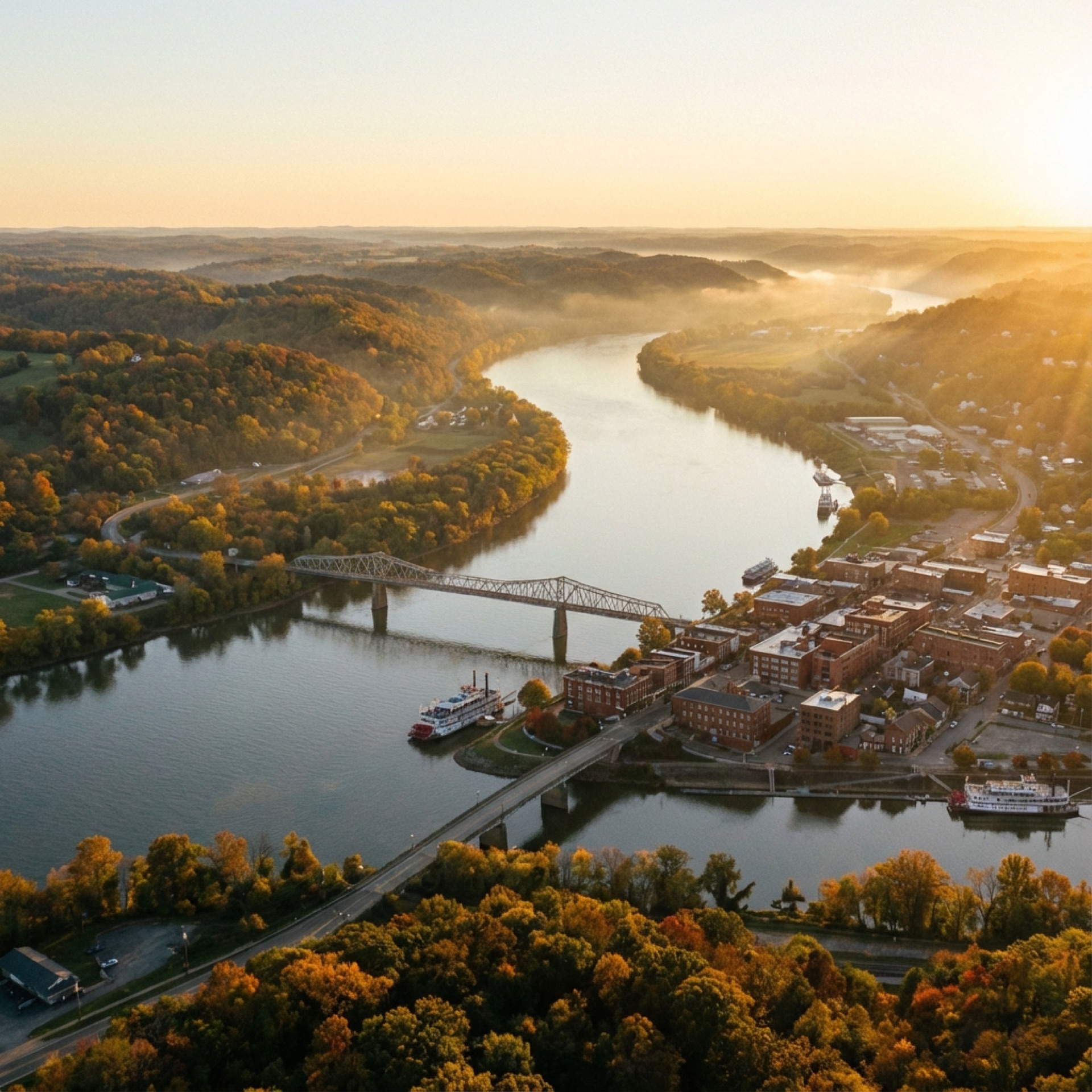
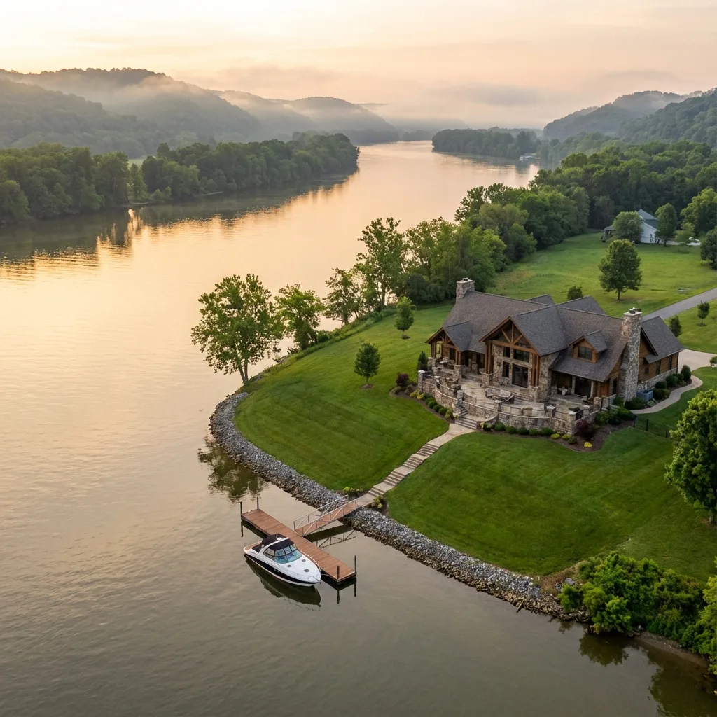
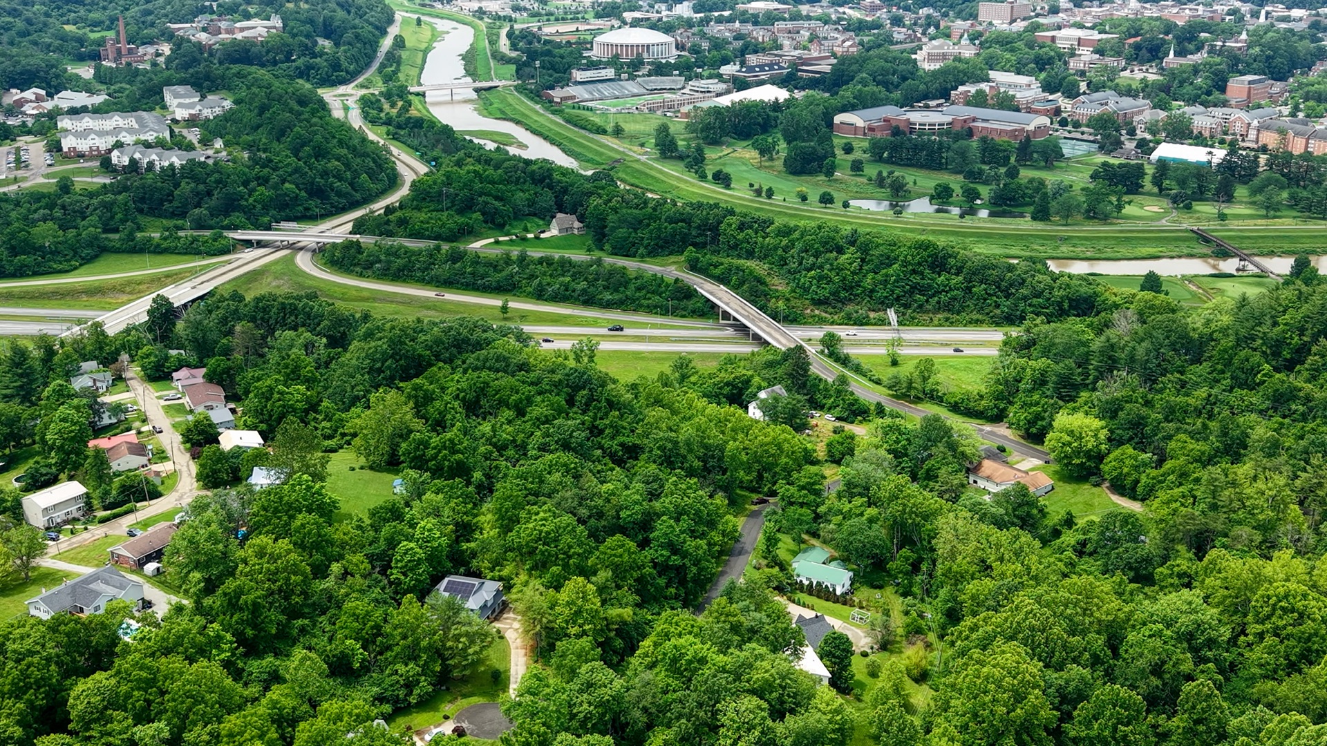
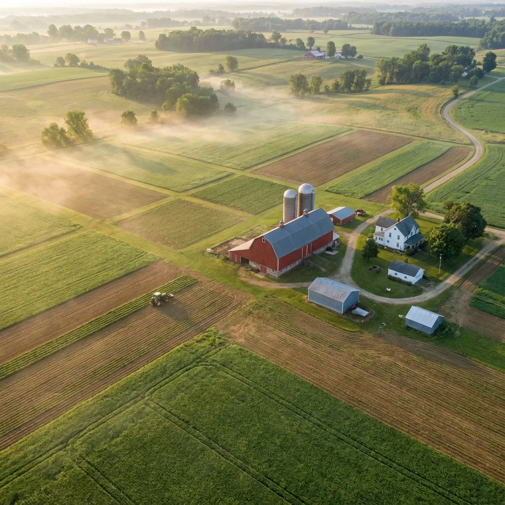
From sprawling timber tracts and working farms to vacant development parcels, our aerial land photography reveals the true scale, terrain, and potential of every property. These images help landowners, realtors, and buyers understand acreage boundaries, access roads, water features, and topography in ways ground-level photography simply cannot. Captured across Southeast Ohio and the Mid-Ohio Valley with FAA Part 107 certified drone operations.
Need aerial photography for a land listing or survey?
View Land & Aerial Survey Services